Setting the top-end standard for quality, precision, and service. Over 20 years of expertise in boundary surveys, subdivisions, and geospatial projects.
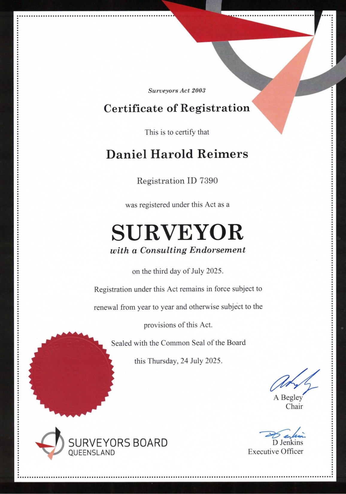
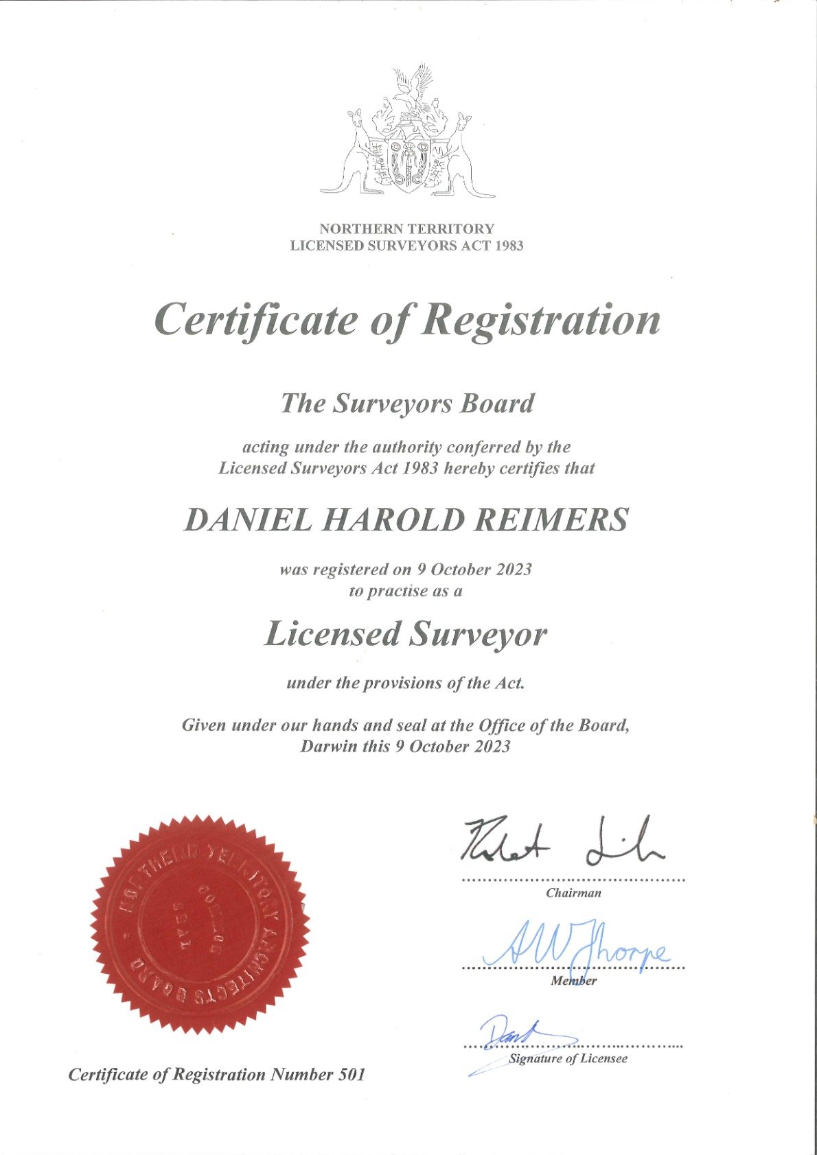
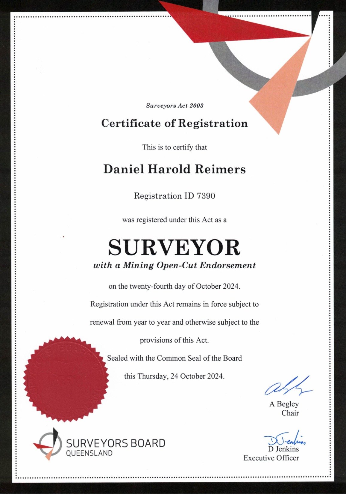
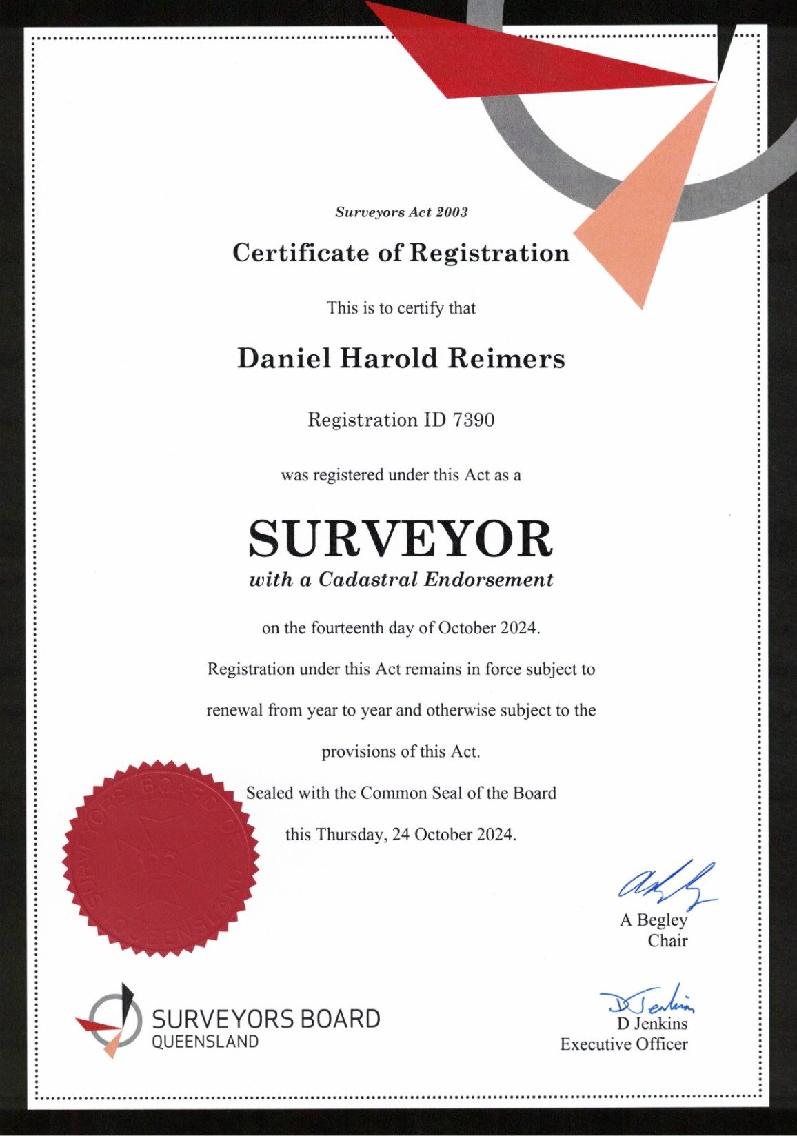
Fully Licensed Authority
Formal authorization for all legal cadastral surveys in NT and QLD. We provide the legal backing required for title boundaries and development compliance.
Competitive Pricing
Our efficient operational model keeps overheads low, allowing us to deliver high-tier technical value at highly competitive market rates without compromising on accuracy.
Multi-Sector Experience
Trusted by individual homeowners, major commercial developers, and government infrastructure agencies for projects ranging from single fences to Large-scale property developments.
Defining project scope and precision requirements.
02
Field Work
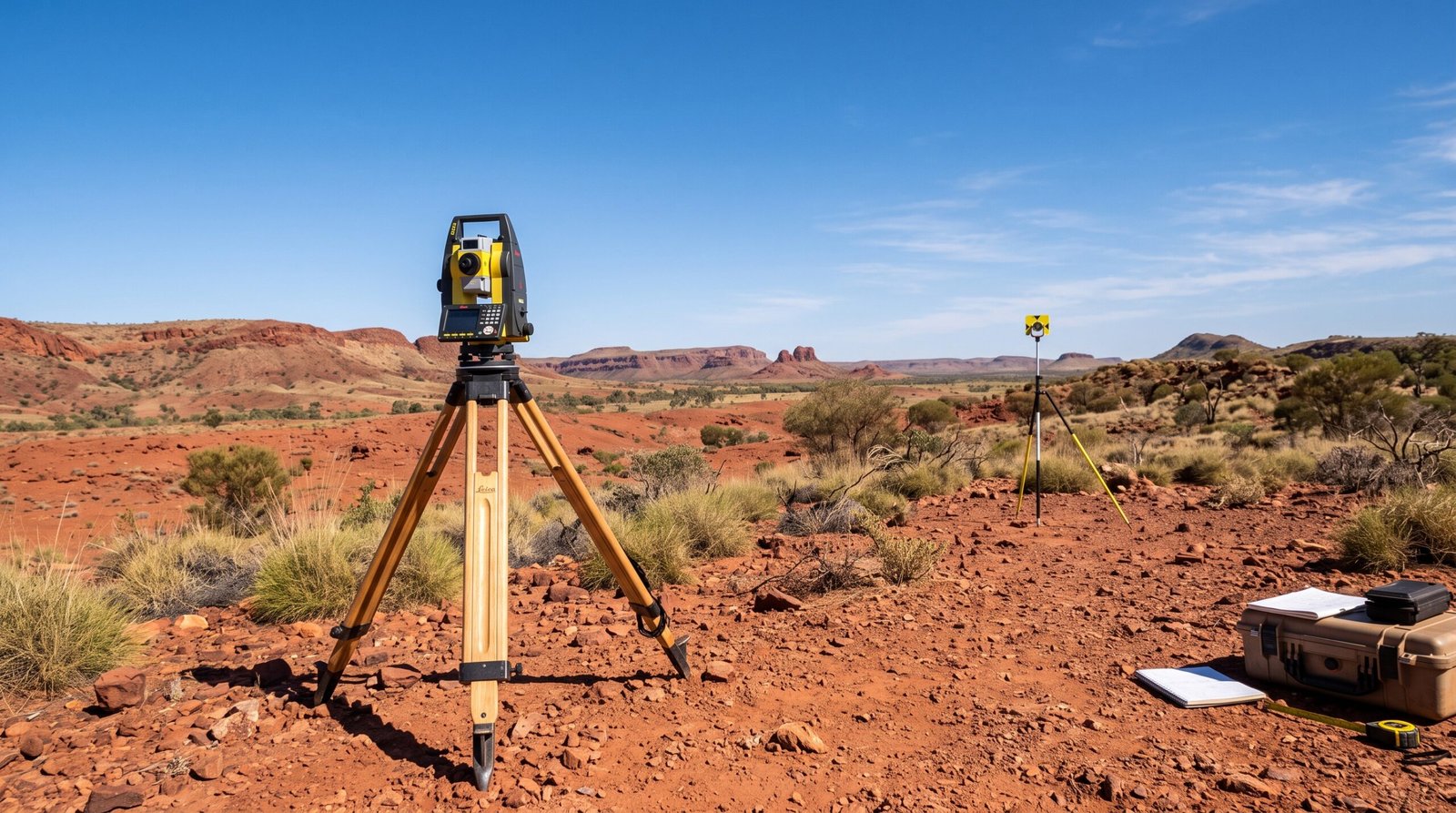
High-fidelity data capture using Leica total stations.
03
Computation
Rigorous data processing and error analysis.
04
Delivery
Certified plans and spatial datasets for lodgement.
Client Feedback
What they say.
Top End Surveying provided an exceptional service from start to finish. Their knowledge, accuracy, and professionalism made our boundary survey process simple and stress-free. Highly recommended for anyone needing reliable cadastral surveying.
We have worked with Top End Surveying on multiple projects and have always been impressed with their attention to detail and commitment to quality. Their experience and local knowledge are a huge advantage.
The team at TES delivered our subdivision survey efficiently and professionally. Communication was excellent, and the final results exceeded our expectations. A trusted surveying partner.
Frequently Asked Questions
Find answers to common questions about our surveying services, project process, and expertise across Northern Territory and Queensland.
Why choose Top End Surveying?
Top End Surveying provides professional cadastral surveying services backed by over 20 years of industry experience, local knowledge, and licensed expertise across Northern Territory and Queensland.
What areas does Top End Surveying service?
We provide surveying services throughout Northern Territory and Queensland, including residential, rural, commercial, government, and remote projects.
Why do I need a licensed cadastral surveyor?
A licensed cadastral surveyor is legally authorised to define and mark property boundaries and prepare survey plans for Surveyor-General approval. These surveys are required for property subdivisions, boundary re-establishments, title changes, and other legal land matters. Using a licensed cadastral surveyor ensures your survey complies with all relevant legislation and regulatory requirements.
What types of projects do you work on?
We work on a wide range of projects including property boundary surveys, subdivisions, commercial developments, government projects, and remote area surveys.
How can I request a survey quote?
Simply contact Top End Surveying with your project details, property information, and requirements. We will review your needs and provide a tailored quote.
Ready to Start Your Project?
Get in touch with our licensed surveyors today for a competitive quote and expert advice on your NT or QLD project.